- Peter Kimberley, Gradata Systems Pty Ltd, Canberra, Australia Vietnam War Missing in Action (MIA) Support
- HIdenori Watanave, The University of Tokyo, Tokyo, Japan, Digital Archives of War and Disasters
- Ethan Berg, Agora World, Philadelphia, PA, USA, GeoForAll: Simplifying 3D Geospatial Metaverse Creation

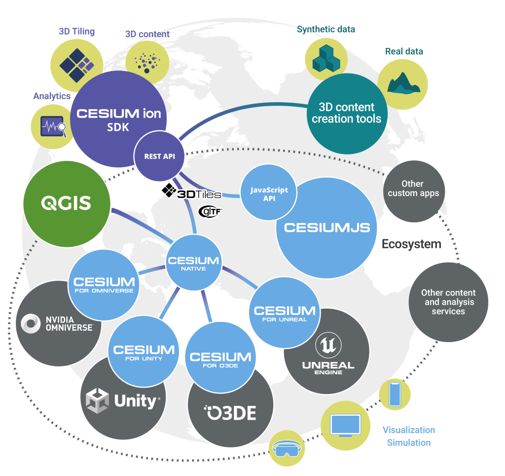
- Develop a new QGIS layer type “QgsTiledMeshLayer”
- Develop a parser for 3D Tiles format, supporting Batched 3D Model (with a reasonable set of glTF 2.0 features)
- Develop a 3D renderer which dynamically loads and displays features from 3D Tiles based on appropriate 3D view level of detail. (A similar approach has already been implemented in QGIS for optimised viewing of point cloud data).
- Develop a 2D renderer for 3D Tiles, which will display the footprints of 3D tile features in 2D QGIS map views. Just like the 3D renderer, the 2D renderer will utilise map scale information to dynamically load 3D tiles and display a suitable level of detail for the footprints.
- Users will have full control over the appearance of the 2D footprints, with support for all of QGIS’ extensive polygon symbology options.
- By permitting users to view the 2D footprints of features, we will promote use of Cesium 3D Tiles as a suitable source of cartographic data, eg display of authoritative building footprints supplied by government agencies in the Cesium 3D Tile format.
Through past partnerships, North Road and Lutra Consulting have developed and extended the 3D mapping functionality of QGIS. To date, all the framework for mature, performant 3D scenes including vector, mesh, raster and point cloud sources are in place. We are now ready to extend the existing functionality with Cesium 3D tiles support as QGIS 3D engine already implements most of the required concepts, such as out of core rendering and hierarchical level of detail (tested with point clouds with billions of points).
So there we go! Working together collaboratively with Lutra Consulting on another great addition to QGIS 3D Functionality thanks to Cesium Ecosystem Grants. Stay tuned on our social channels to find out when it will be released in QGIS.


One thought on “Cesium Ecosystem Grant Win for QGIS 3D Tiles!”
Comments are closed.