
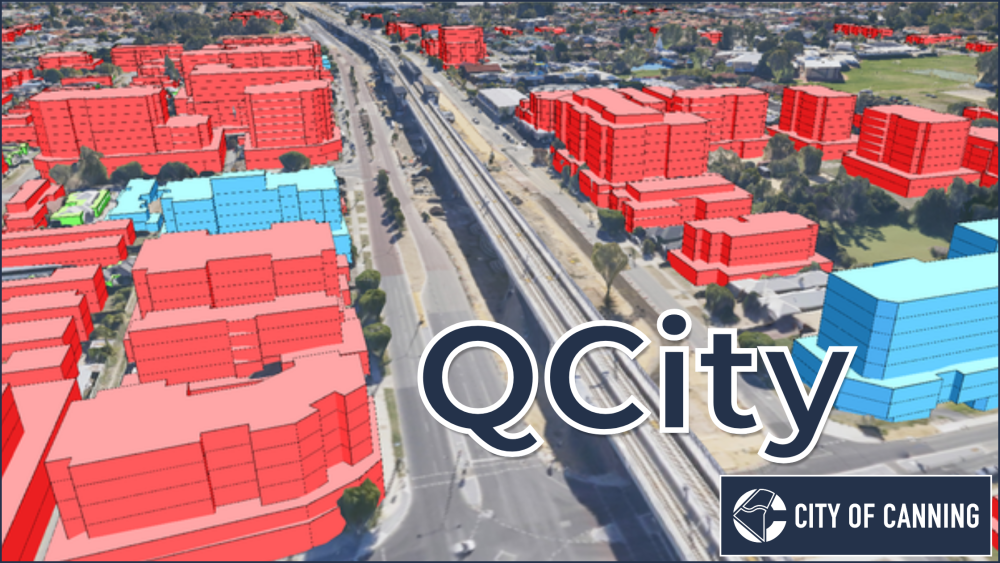
Introducing the QCity Plugin
Urban Development Modelling in QGIS Introducing QCity, a new plugin that brings advanced urban development modeling directly into QGIS. Developed in collaboration with the City of Canning (Perth, Western Australia), QCity enables urban planners to model project areas using predefined frameworks, providing visual 2D/3D insights and detailed statistical reports. The plugin workflow begins in the “Project Setup” tab, where users either define a new Project Area boundary and input dwelling and parking (both car and bike) parameters, or load a previously saved site or QCity package: Next, “Development Sites” are created within each Project Area. Development Sites options include: Setting the site’s status: constructed, proposed or modelled Automatic calculation of the site’s floor space, car and bike parking (based on […]
Read more